 Time to Read: ~4 min
In our time in Oregon, we've hiked Scott Mountain, Mount Scott and now today's hike to the Four in One Cone begins on the Scott trail. After dropping the kids off at Mt. Hood Summer Ski camp, we spent the night in Portland with Sarah and Adam. The next morning we had a lovely trail run in Forest Park in Portland and then ventured down to our rental in Sisters, Oregon. Sisters is a beautiful little community just about 30 minutes northwest of Bend. We've fallen in love with the area, and Scott and I hope to retire in Sisters or spend part of the year there and part of the year where we live now in Trumansburg, NY. Each time we go, however, we find that we're a little more rooted at home and spend more time discussing a bi-coastal existence.
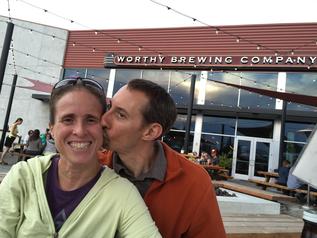
Adam and Sarah
Our plan was to have Sarah and Adam come down and spend a couple of nights with us in our rental. For the first night, they joined us at Worthy Brewing for dinner. We fell in love with Worthy on our last trip to the area for its gorgeous outdoor seating area. The day we dined there, we had completed a 16 mile hike with the kids and we were dusty and tired! We found Worthy and quickly had a tasting flight of beer in front of us and some fantastic pretzels. The rest of our meal was as delicious as the first bites so we made it a point to go back. We had another lovely meal there, this time joined by my sister and Adam. The four of us rarely get to go out just adults and it was really great to catch up with them.
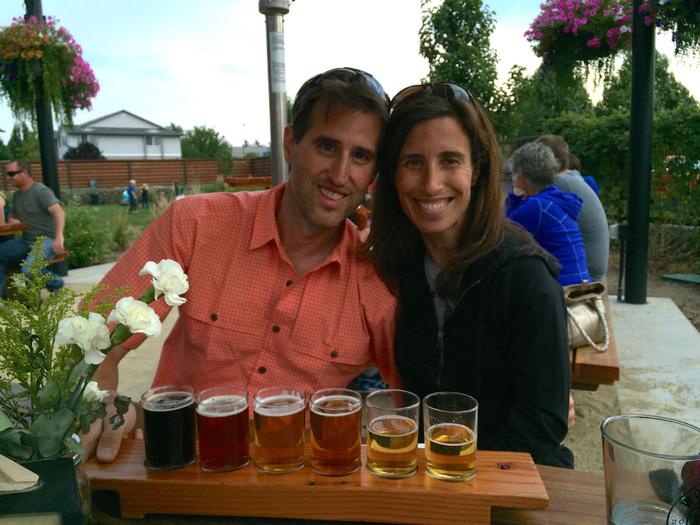
Worthy Brewing
Hitting the Trail
The next morning we headed out for a hike. We selected the Four-in-One Cone hike from our favorite guidebook, 100 Hikes in the Central Oregon Cascades. We chose it because it was long enough to make it feel like a good day hike, and because we've done most of the hikes in the area, some several times already! We all got up early and hit the trail around 8 am. The high for the day was near 90 degrees, so our early start gave us nice cool hiking temperatures.
To get to the hike you take McKenzie Highway 242, an old scenic road between Sisters and McKenzie Bridge. It is a beautiful drive, albeit on very winding roads. Shortly outside of Sisters you lose cell reception for the entire journey. This is one of the things I like about this area; less than an hour away from civilization and you are unreachable to the world. We admired the views as we drove along, looking forward to our start.
This hike follows the footsteps of Captain Felix Scott when he led the first wagon train through the McKenzie Pass area in 1862. It crosses volcanic landscapes of cinder cones and lava flows beside North Sister. The viewpoint we'd be heading to follows the Scott trail to a viewpoint on the top of a crater rim of 4 connected cinder cones. It would cover some of the same terrain we'd taken when Scott and I summited Little Brother in 2013 with the kids.
Natural Beauty
Because today's hike was simply a day hike and the weather was very mild, we had very little to carry; simply collapsible hiking poles, a small lunch, water, and a long sleeved shirt. As we hiked through the viewless portion of this hike, I marveled at how much more lovely it was then when hiking similar terrain with a 40 pound pack for an overnight (what we'd done when we summited Little Brother). The terrain is lovely, full of moss and trees and shade.
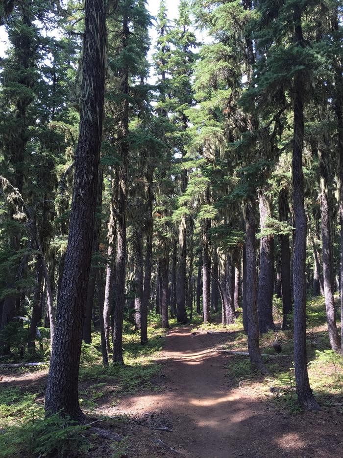
Moss. Trees. Shade!
Shortly into the hike, the grade increased and we hiked up several steep sections and passed through some little forested 'islands' between lava flows. The terrain is very similar to that of Belknap Crater. See Scott's post about this hike to view the GPS tracks from all of the hikes we've done in this small area.
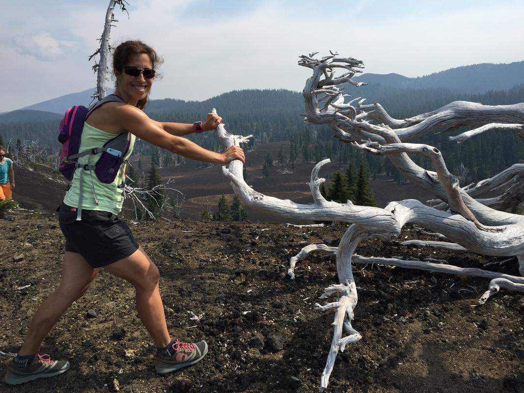
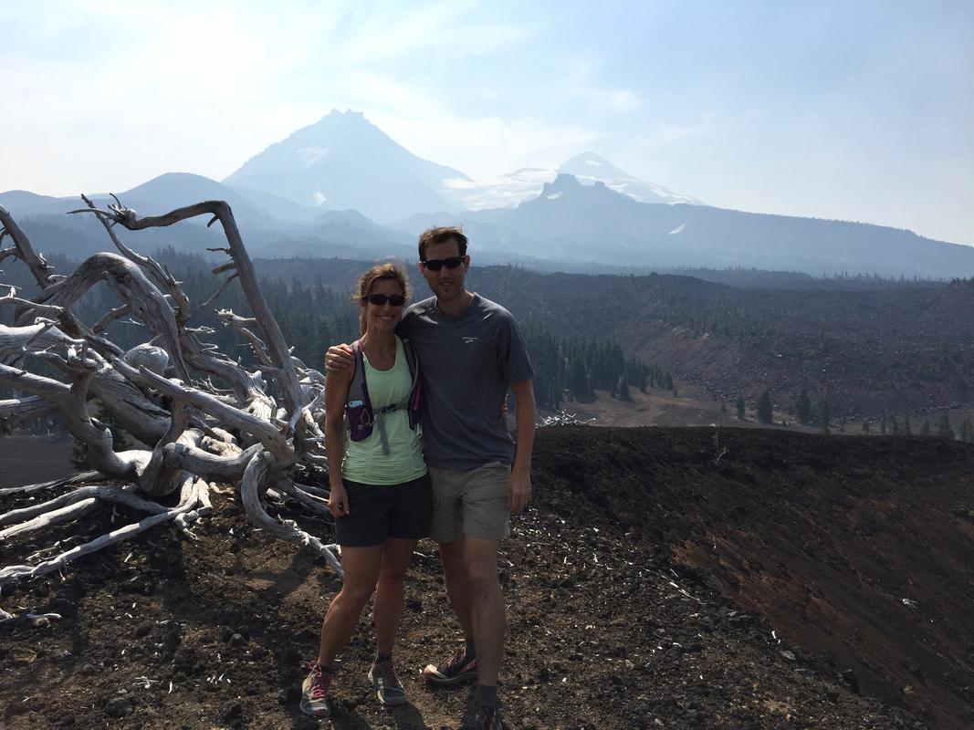
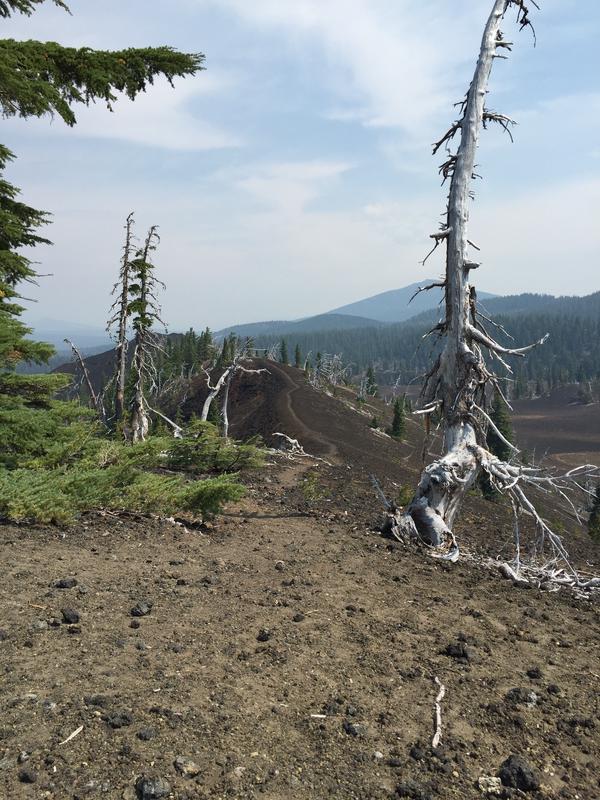
It wasn't long before we were on top of the largest of the 4 cones enjoying incredible views of North and Middle Sister as well as Little Brother. We enjoyed part of our lunch up here and took a few photographs before descending into the valley below.
Keep on Hiking
After descending, we had a little discussion. The main hike was classified as moderate and it was a 9 mile round trip. We had the option of extending and turning this into a challenging 15 mile loop by taking the PCT and Obsidian Trail back. Of course I wanted to extend it. Luckily the others all felt the same way. The kids weren't with us and we had no time pressure, so the longer hike was in the cards for that day!
The next portion of this trail was on the PCT and while we were on this section, we did run into a couple of PCT thru hikers. I love meeting folks tackling this journey, even if we just exchange quick hellos. The thought of doing the entire trail is just so inspiring!
After our stint on the PCT (during which time we walked by our access route to where we had summited Little Brother 2 years ago and saw the area where we camped) we returned to our car via the Obsidian Trail. This trail takes you through gorgeous lava flows before re-entering the mossy forest. This was the route we had taken up to camp with the kids while carrying the aforementioned 40 pound packs both in and out. As I hiked next to Sarah, I remembered how exhausted I was when we did that route to summit Little Brother. Because I was carrying virtually nothing, I was free to enjoy the lovely scenery without a thought of being tired. I was, however, already looking forward to the celebratory huckleberry smoothie I'd enjoy when we returned to Sisters for the evening!

Our favorite Huckleberry Smoothies in Sisters, Oregon
Stats
According to Gaia GPS we logged 16.28 miles with 3,116 feet of elevation gain for the day. We were actively hiking for 5:24:27 and our total time on the trail was 6:20:10.
